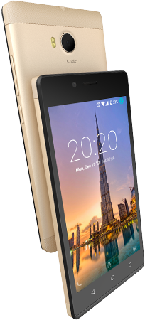
Gionee Marathon M6 Specs, Reviews and Price In Nigeria (Vs Gionee M5 Plus)
Gionee Marathon M6 Reviews and Price This review is all about gionee marathon M6 which is the successor of gionee m5 plus in the m-series of gionee phones. In our previous post we reviewed so many of gionee m series phones, you can check out the specs, review and price of gionee m5 and also … Read more


